Severe weather incidents on the rise?
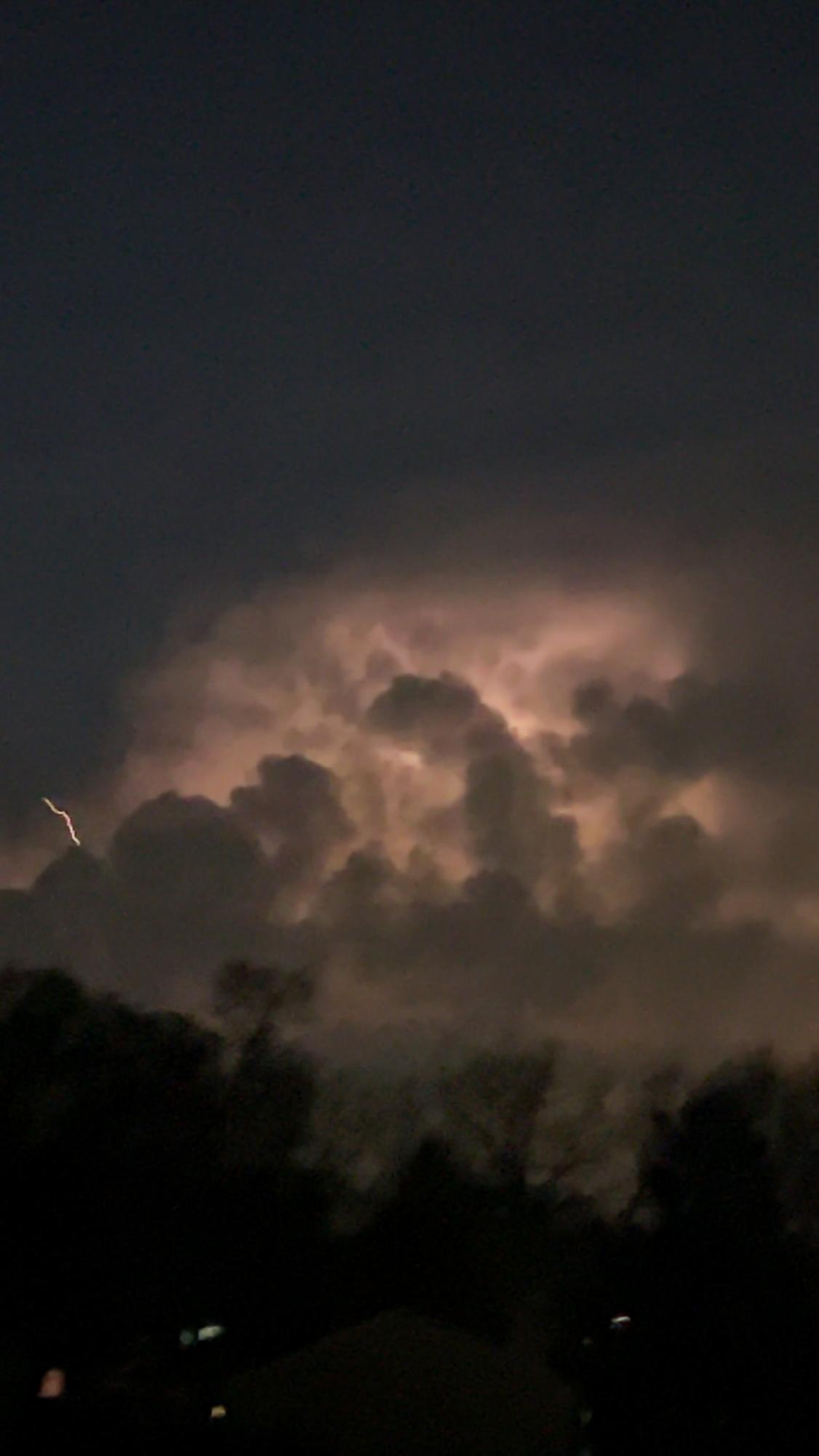
In February, a rare tornado touched down in West Chicago—uncharacteristic for that time of year and a stark reminder of the region’s vulnerability. This was followed by a derecho in June, a series of high-speed windstorms that toppled trees, damaged homes, and left thousands without power.
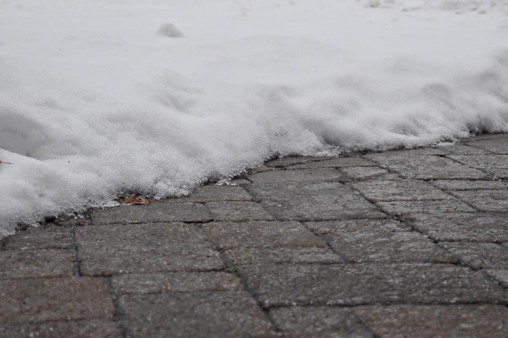
With La Niña’s return this past fall, areas like Illinois saw above-average precipitation, while the North Central states braced for cold temperatures.
Looking ahead, forecasters are already predicting a volatile winter season. The 2024-2025 winter, according to the “Farmer’s Almanac,” could be marked by a ““wet winter whirlwind,” with more rain than snow in many regions, including the Midwest.
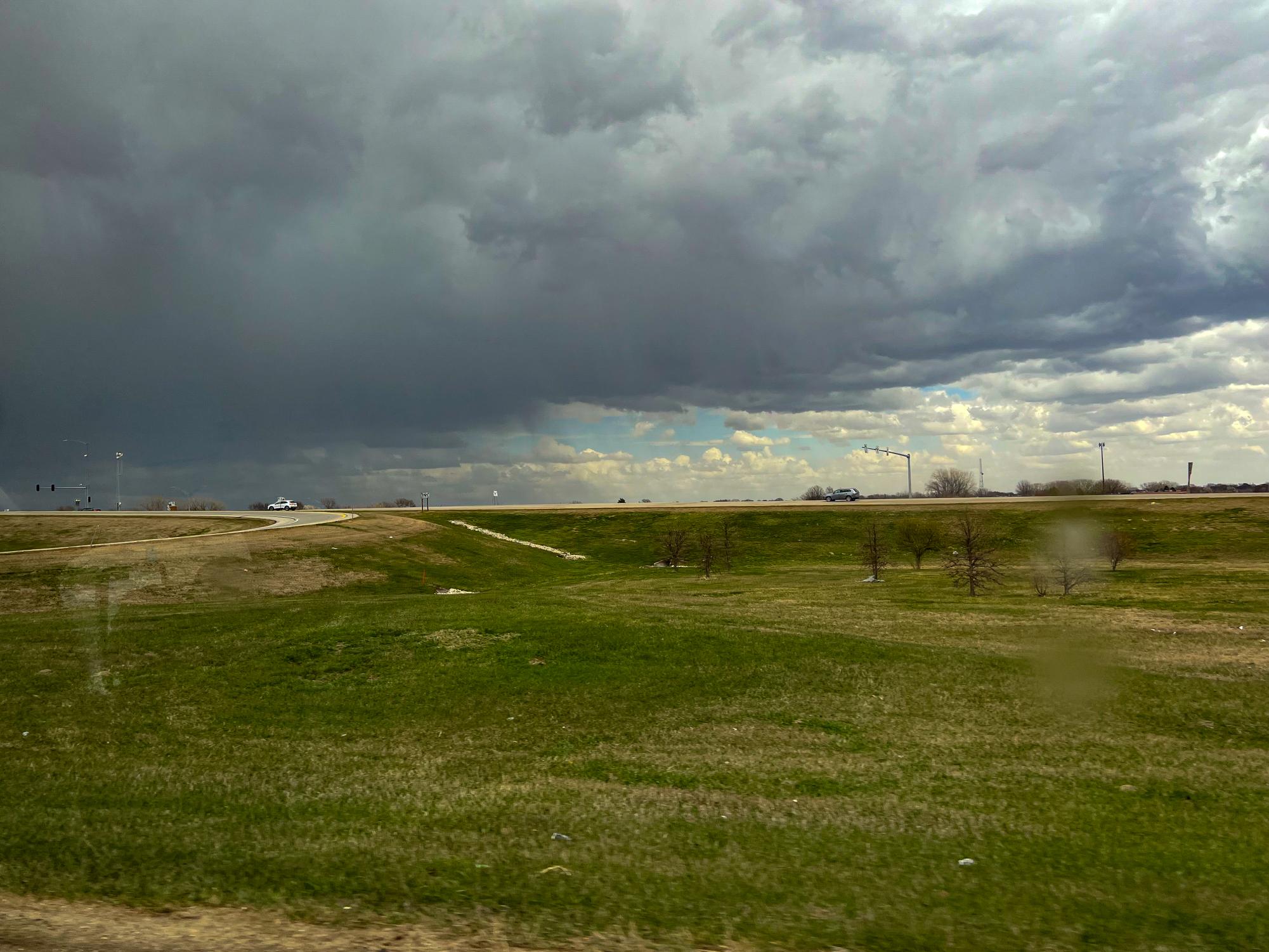
To gain a better understanding of storm preparedness, the Wildcat Chronicle spoke to local storm chaser Jacob Banakis who shared his expertise, discussing both the excitement and dangers of storm chasing. Banakis emphasized that while storm chasing can provide valuable data to meteorologists and local authorities, safety remains the top priority. He recommended that all storm chasers be properly trained and certified before pursuing severe weather.
“Safety is always the number one priority when storm chasing,” Banakis said.
For Banakis, storm chasing is more than a scientific pursuit—it’s personal.
“I used to be terrified of thunderstorms as a kid, but now it’s my happy place,” he said.
According to Banakis, storm chasers use advanced weather models to predict storm behavior and position themselves south of the main rotation area.
“You never want to drive directly into a storm. Staying south of the storm puts you in a better position if you need to escape quickly,” Banakis said.
Banakis also stressed the importance of respecting warnings issued by the National Weather Service, particularly in the case of tornados, like that which struck last winter.
“If you’re in the polygon, you’re in the danger zone, and you need to take action,” he said, referring to the warning areas on weather maps. Proper reporting of weather events is essential, as unreported tornadoes or damage can leave communities vulnerable.
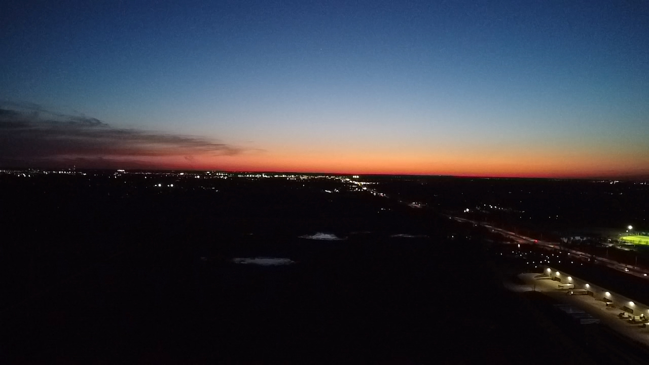
Last year brought its share of extreme weather events as well. The World Weather Attribution report notes that summer 2024 featured multiple severe storms, including tornados and flash floods, which caused significant damage across the Midwest. For example, the aforementioned derecho swept through Illinois and neighboring states, leaving a path of destruction and widespread power outages. “This is a stark reminder of the risks posed by severe weather,” the report stated.
The unpredictability of severe weather has become more apparent in recent years. Beyond the local area, Hurricane Milton wreaked havoc in Florida, while a earthquakes in Los Angeles had experts questioning whether extreme weather patterns are becoming the new norm. While some attribute these shifts to climate change, Banakis remained cautious, stating that 2023 was the hottest year on record, but noting that many factors, including natural climate patterns like La Niña, influence these events.
As climate conditions evolve and severe weather events seem to strike with increasing frequency, staying prepared is more important than ever. Local residents are encouraged to sign up for local weather alerts, review safety plans with their families, and keep emergency supplies readily available. In the face of unpredictable and sometimes life-threatening weather, vigilance can make all the difference.
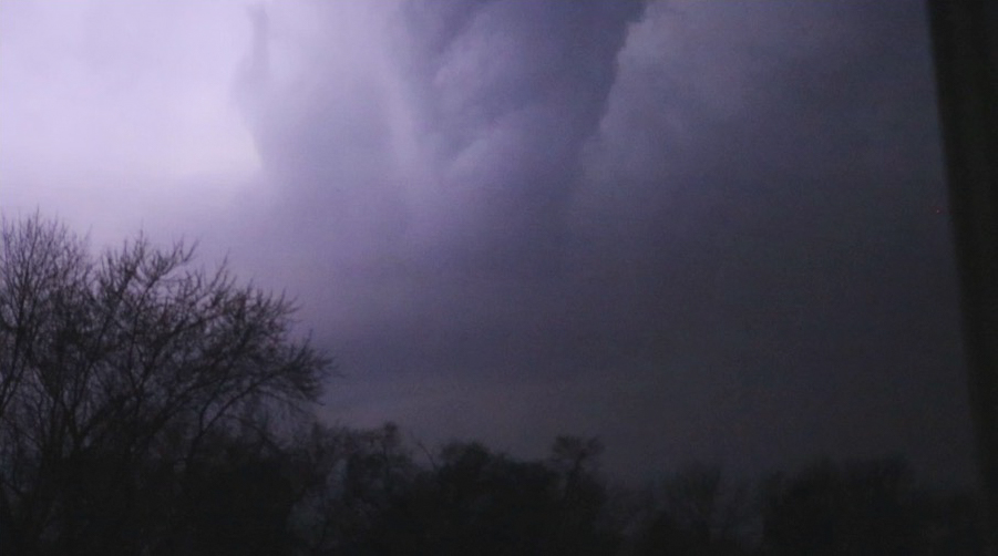
As climate conditions evolve and severe weather events seem to strike with increasing frequency, staying prepared is more important than ever. Local residents are encouraged to sign up for weather alerts, review safety plans with their families, and keep emergency supplies readily available.
Severe weather in the Midwest can take many forms, from heavy rain and snow to dangerous winds and hail. To stay safe:
- Practice emergency plans: Ensure your household knows where to go and what to do in case of a severe weather event.
- Avoid open areas: Stay clear of isolated trees, towers, utility poles, wires, and fences, which can be dangerous during storms.
- Prepare an emergency kit: Include items like a first aid kit, flashlight, weather radio, and any necessary medications.
- Stay protected outside: If venturing out, consider wearing a hard hat and reflective vest, especially during hailstorms, as hail can cause serious injury.
By following these guidelines, residents can be ready for whatever nature throws their way.
Your donation will support the student journalists of West Chicago Community High School. Your contribution will help us cover our annual website hosting costs. We appreciate your support!


